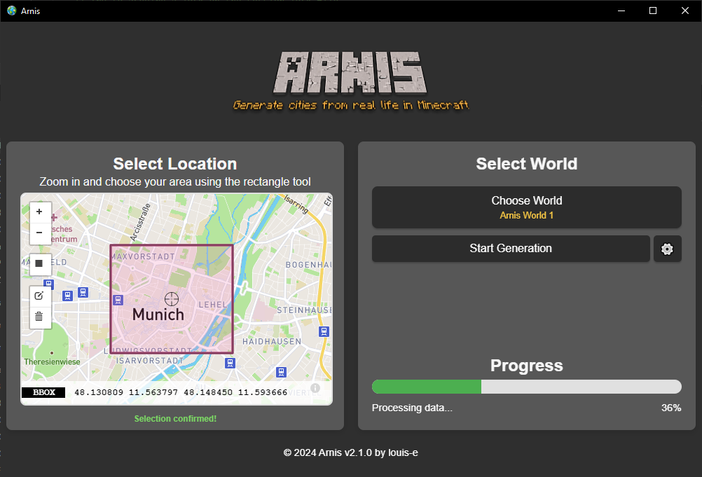
Arnis

Generate any location from the real world in Minecraft Java Edition with a high level of detail.

What is Arnis?

Arnis screenshot

By leveraging geospatial data from OpenStreetMap and utilizing the powerful capabilities of Rust, Arnis provides an efficient and robust solution for creating complex and accurate Minecraft worlds that reflect real-world geography and architecture.

Arnis is designed to handle large-scale data and generate rich, immersive environments that bring real-world cities, landmarks, and natural features into the Minecraft universe. Whether you're looking to replicate your hometown, explore urban environments, or simply build something unique and realistic, Arnis generates your vision.

Key Features of Arnis

🗺️

Real-World Accuracy

Create precise Minecraft worlds that mirror real-world geography and architecture with stunning detail.

💻

Open Source

Freely available source code with a community-driven development approach for transparency and collaboration.

🧩

Modular Design

Clean separation of components for enhanced maintainability and scalability of the world generation process.

High Performance

Optimized world generation using Rust's powerful memory safety and concurrency features.

😊

User-Friendly

Simple and intuitive interface designed for the best possible user experience.

🖥️

Cross-Platform

Full support for Windows, macOS, and Linux operating systems.

How to use Arnis?

Download the latest release. Choose your area in Arnis using the rectangle tool and select your Minecraft world - then simply click on 'Start Generation'! The world will always be generated starting from the Minecraft coordinates 0 0 0 (/tp 0 0 0).

If you choose to select an own world, make sure to generate a new flat world in advance in Minecraft.

💡 Tip:

For the best experience, start with a new flat world in Minecraft before using Arnis.

Download Arnis

Version: New Year's Resolution Update (v2.2.0)

Released January 22, 2025